john.bevington@jbaconsulting.com
www.jbaconsulting.com
Get in touch
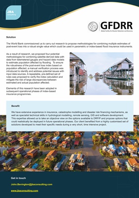
Solution
As a result of research, we proposed four potential
methodologies for combining satellite-derived data with
data from telemetered gauges and hazard data models
to estimate population affected by flooding. To ensure
the robustness of the post-event loss index based on
population affected, a manual verification process was
introduced to identify and address potential issues with
input data sources. A repeatable, pre-defined set of
rules was proposed to verify the index calculation and
mitigate the risk of large discrepancies between
estimated and actual population affected.
Elements of this research have been adopted in
subsequent operational phases of index-based
insurance programmes.
Benefit
We have extensive experience in insurance, catastrophe modelling and disaster risk financing mechanisms, as
well as specialist technical skills in hydrological modelling, remote sensing, GIS and software development.
This expertise allowed us to take an objective view on the options available to DRFIP and propose options that
could realistically be deployed in future operational phases. Our client benefited from a highly customised set of
solutions developed to meet their specific needs during a very short, time intensive project.
The World Bank commissioned us to carry out research to propose methodologies for combining multiple estimates of
post-event loss into a robust single value which could be used in parametric or index-based flood insurance instruments.