Academic
T
he Geography Department has been exceptionally
busy during the academic year. The term started off
with a visit to Blaenavon, near Pontypool in Wales,
to learn about the history of Big Pit, a deep coal
mine which closed in 1980. Since then, the town that
depended on the mine has faced huge hardships. Understanding
our industrial heritage and how that influences the geographical
patterns of settlement, issues of deprivation and potential for
economic development through tourism are all central aspects
of the AS course.
The group then visited the old Blaenavon ironworks to learn
about the processes involved and the lives of those working
in this industry, but the final stop of the day was by far the
most poignant: Aberfan. In 6.2 the pupils will study more about
landslides and the causes, effects and management of these.
In October 1966 the village of Aberfan experienced the most
heart-breaking of industrial disasters. Intense overnight rain
and poorly managed drainage systems of slag heaps led to a
landslide that raced down the hillside and straight through a
primary school during assembly. Our pupils were visibly moved
by the sight of the graves of the 144 victims, most of whom
were aged under 10.
In the South-West we are blessed with some truly outstanding
geographical locations, and none is better than the Jurassic
coast. Thirty-six Sixth Formers set off for two days of
intensive fieldwork at a variety of locations along the coastline
(such as Durdle Door and Old Harry stack), to study erosion,
transportation and deposition.
In January, the 6.2 geographers were given a tour around the
vast Avonmouth and Royal Portbury Docks, as part of the
globalisation topic. They visited the warehouses which were
home to cattle feed, the cement and car storage areas, and the
very busy container off-loading bays.
In March, the department headed to Iceland for the second
consecutive year with 23 GCSE and A level geographers. The
trip started with a dip in the Blue Lagoon, with its geothermallyheated mineral-rich waters. From there, we travelled across to
Hellisholar, where we stayed in log cabins. The second day saw
visits to the high and wispy Seljalandfoss waterfall, which, unlike
last year, we were able to walk behind. There was also a visit to
the Skogar Folk Museum to gain an understanding of Icelandic
heritage, and to see the traditional houses with their turf roofs.
The 94 year-old owner and curator was very happy to see us for
a second year in a row! The highlight of the trip was the ascent
of the Eldfell volcano on the island of Heimaey, which provided
fantastic views of the extent of the lava flow, when the town was
enveloped by lava back in 1973.
In June, Fourth Form pupils visited the River Horner in Exmoor
National Park, where they assessed the changes across the
river's long and cross profiles and the resultant features as you
progress from source to mouth. The pupils were taught a variety
of field techniques, such as how to measure the gradient, channel
velocity, width, depth and wetted perimeter. These are all skills
that are essential requirements of the GCSE course, and the data
collected is used within their Fifth Form controlled assessment.
Geography
By James Bird
The group pause to enjoy the view in Iceland
Taking measurements along the River Horner
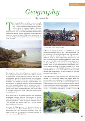
Sixth Formers on the beach at Durdle Door
49